Westcliff Lift, Bournemouth
East Cliff Lift, Bournemouth
Fisherman's Walk Cliff Lift, Bournemouth
TODAY'S ITINERARY
Exploration: Tuesday, 25 June, 2019
lv London Waterloo 0735 South Western Railway
ar Bournemouth 0943
lv Bournemouth Rail Station stop, Yellow Bus
ar Bournemouth Pier stop
lv Landsdowne Roundabout stop, Yellow Bus
ar Fisherman's Walk stop
lv Fisherman's Walk stop, Yellow Bus
ar St Swithun's Roundabout stop
lv Bournemouth 1445 Cross Country Trains
ar Winchester 1532
lv Winchester 1625 South Western Railway
ar London Waterloo 1738
This was the big day: three funiculars in one town! One of them is not running because part of the cliff collapsed, but it hasn't been pronounced dead yet, so I am counting it because I showed up ready to ride.
Originally I was planning to make Bournemouth my third day out, but union staff of South Western Railway announced a five day strike. Their contention is that it is good having a guard on the train to walk through and make announcements. I find myself in agreement, but if I was not maxing out a train pass maybe I would not want to pay the fare it takes to employ them. Unless I am mistaken all the other trains I rode had guards. On this date the guard put on a great show of making announcements and walking through a few times.

I wonder how few Waterloo passengers come through the monumental entrance. Look at that! Some walk over the bridge, and some come on a bus, and approach this entrance obliquely, and how few of those look up? I think most of us come in from one of the four tube lines, as I did, and do not see the terminal from outside at all. On a trip in 2017 I had time before my train to go out and admire the architecture. I could not step much farther back than this for a better view because the viaduct carrying Charing Cross trains runs right past here—and it was there decades before this exterior was built.
That the channel tunnel trains had their British terminal at Waterloo for several years seemed like a snide reminder to French passengers of who won the Napoleonic wars. That really is the reference in the name, but it goes back far beyond the channel tunnel. The first incarnation of this terminal, not this building, was called Waterloo Bridge, after the nearest landmark, the bridge that was opened in 1817 and was named for the great victory two years earlier.
Waterloo does not have the arched trainshed of Paddington or Kings Cross, but because of its great size it doesn't need that to impress. This is a very big terminal, and the generous space forming a gentle arc across the gates at the ends of the platforms gives the passenger a sense of almost endless opportunity. There are signs suggesting which group of tracks would be used for certain destinations, and that helps. Coming out of the station is an eight track main line, something unheard of in my poor city but not unique here (London Bridge has more). I found a Costa to purchase my usual (in Britain) croissant and coffee, and then I found my train and settled in. This was the first day out when I did not need to change to reach my destination.
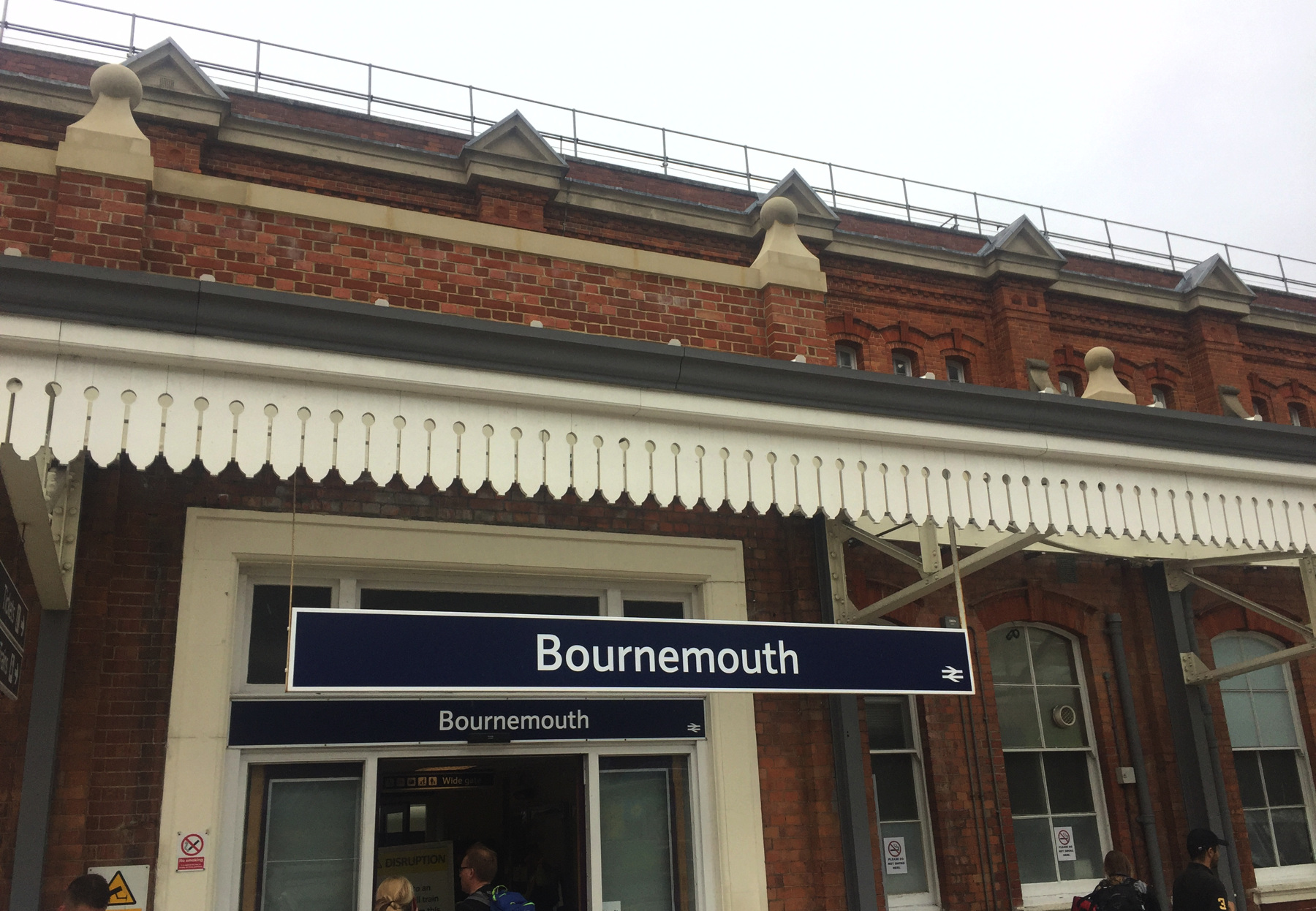
Bournemouth has two local bus companies, with remarkably overlapping franchises. For the short rides I needed I could have used either company, running on the same streets. Based on some logic that I have already forgotten I decided to take an all-day pass on Yellow Bus. It's a mile and two tenths to the Pier stop, just six minutes by a bus that runs every few minutes. The pier is the nearest point to the first funicular.
I would be back at the pier shortly but here is what it looks like from the bus stop and from a point on the gradually rising ground to the south. It was a cool grey day when I started out, wet from rain, but within a couple of hours I was sorry to have my then-needless jacket to carry.
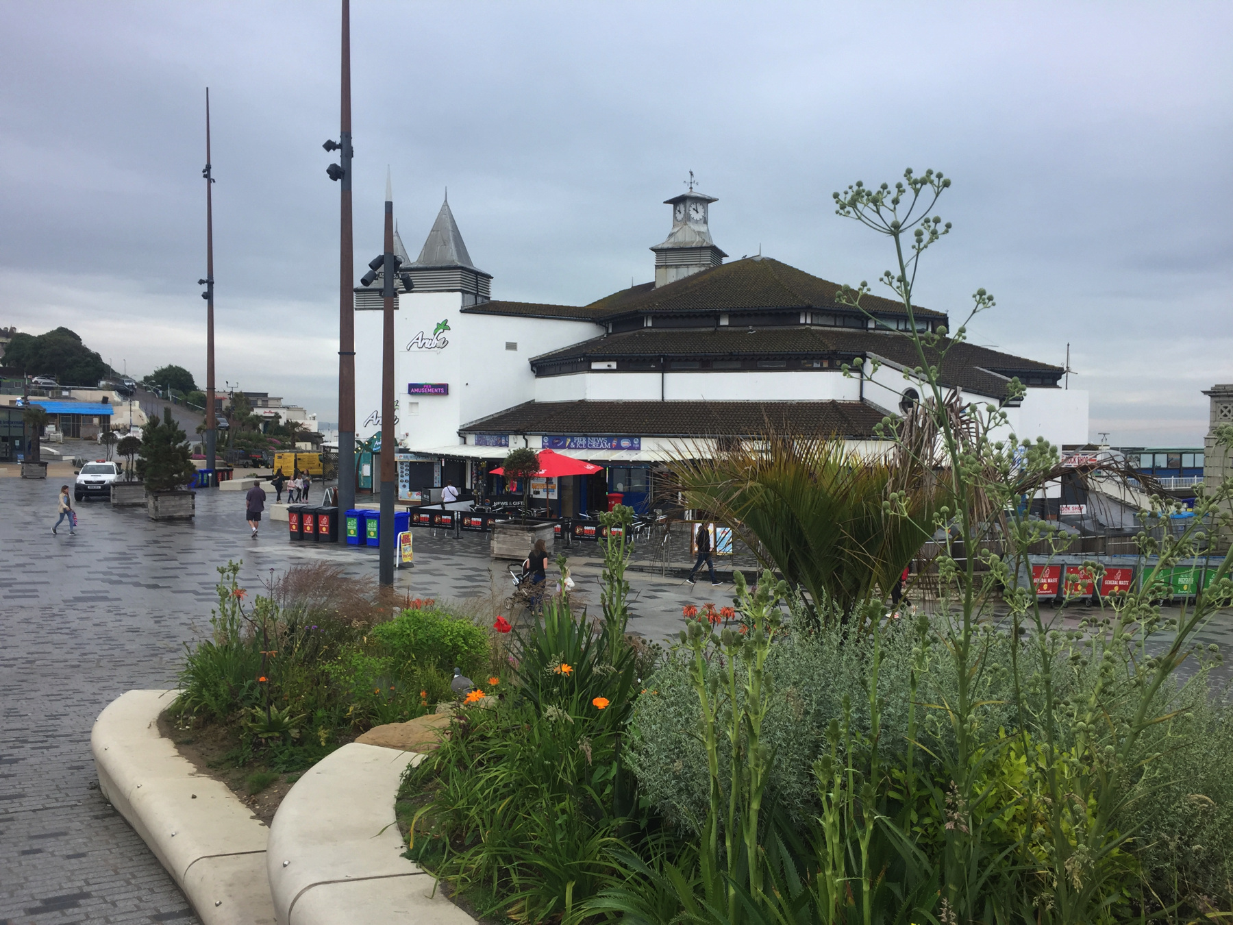
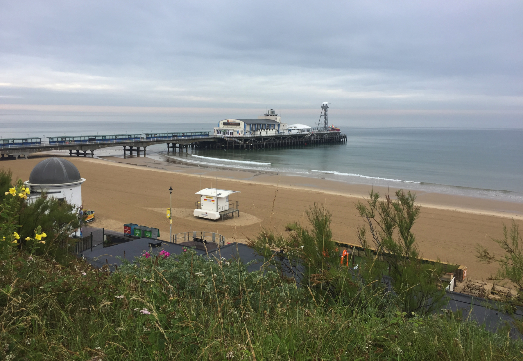
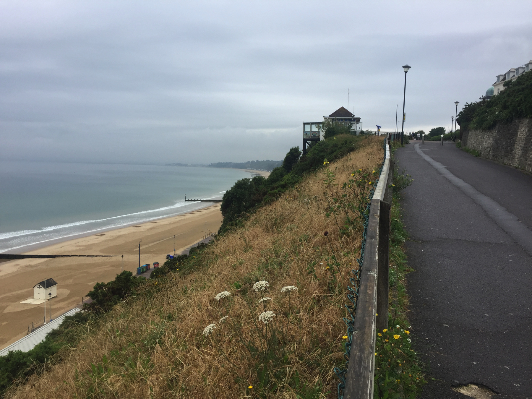
Westcliff Lift
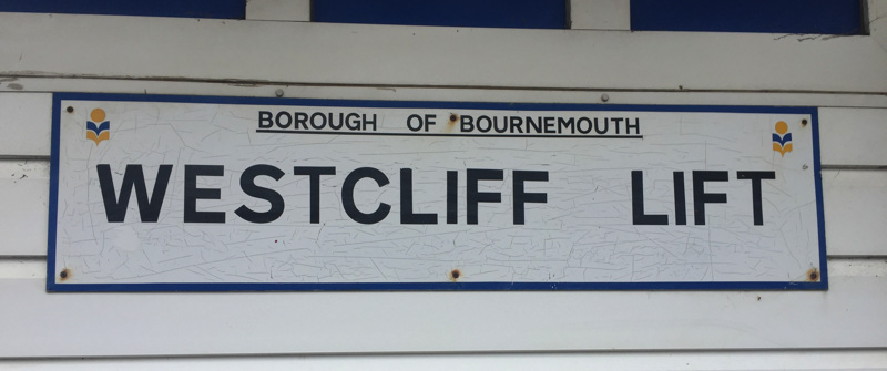
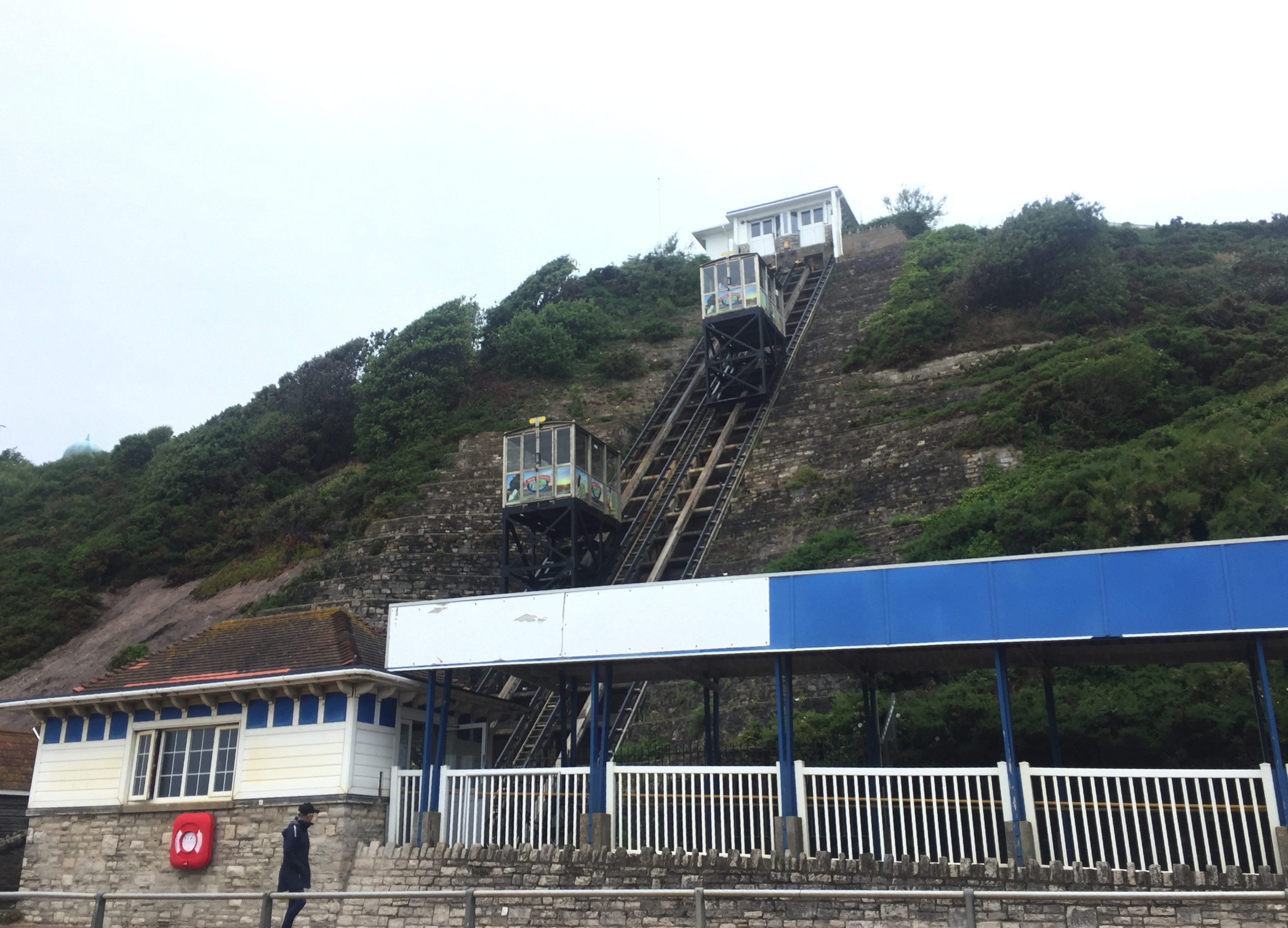
By the time you reach the Westcliff Lift, it's a long way down. And yes that is the name, Westcliff, not West Cliff—unless someone at the borough council ordered a sign with the wrong name and no one wanted to spend the money to fix it.
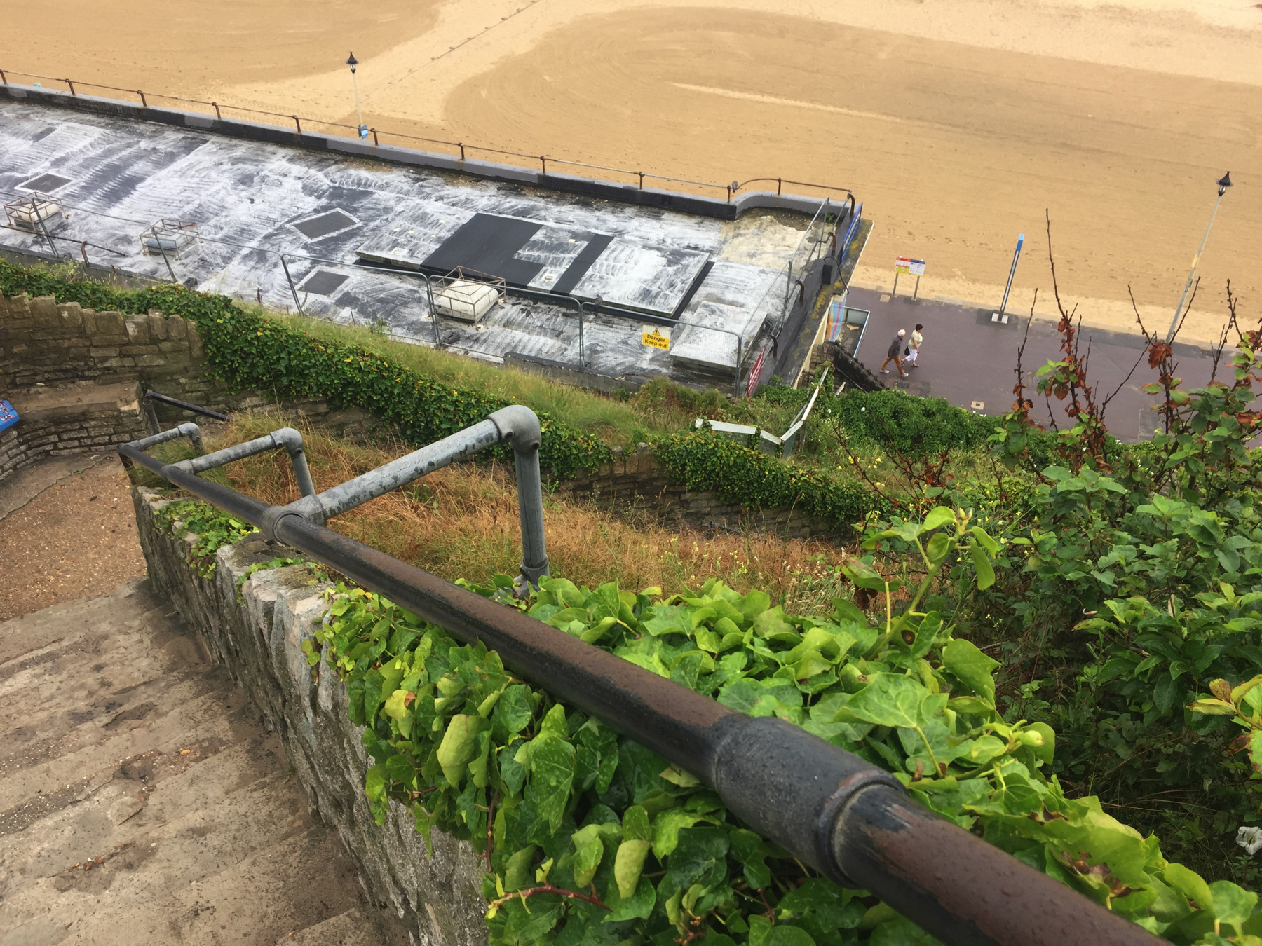
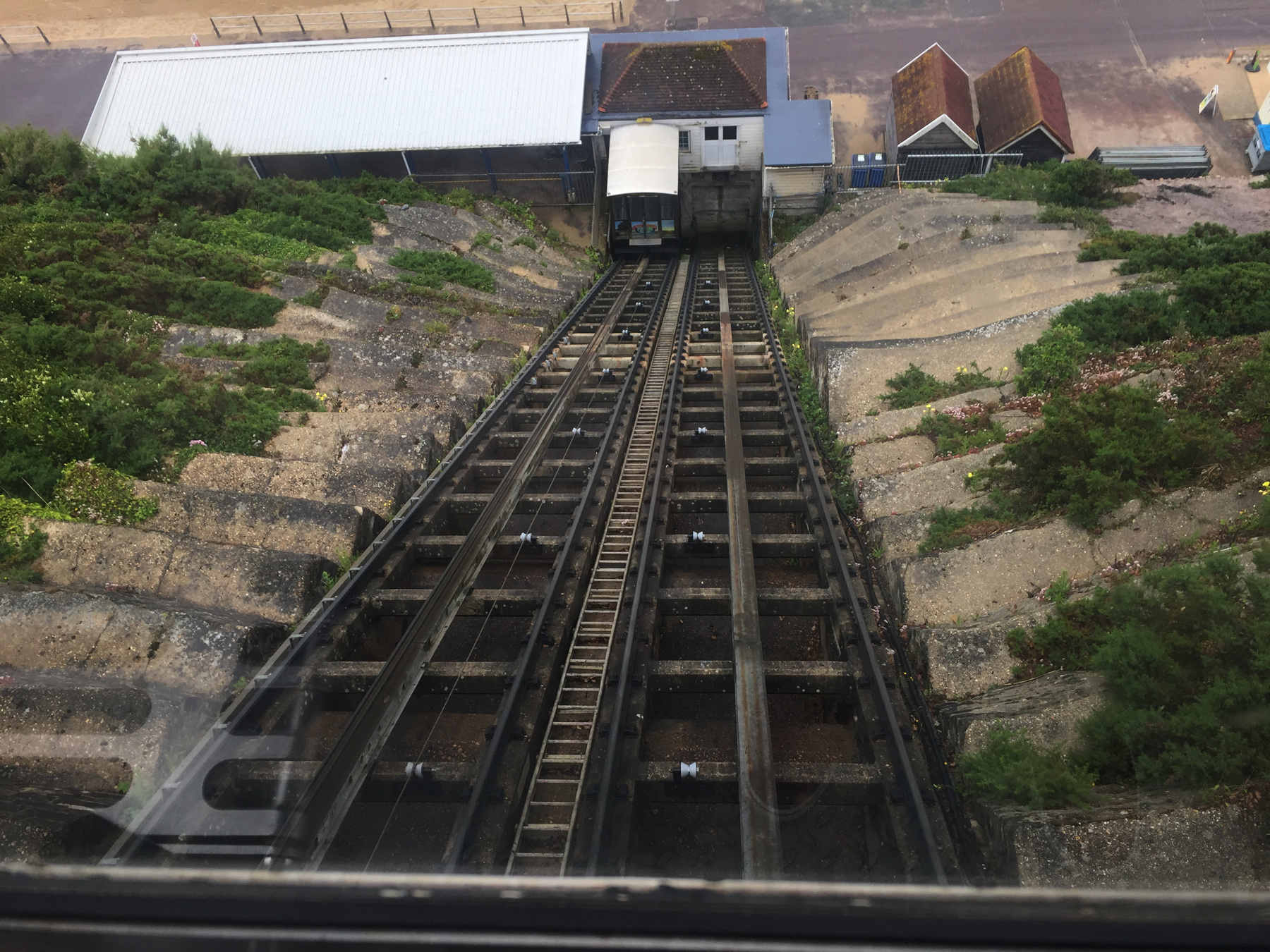
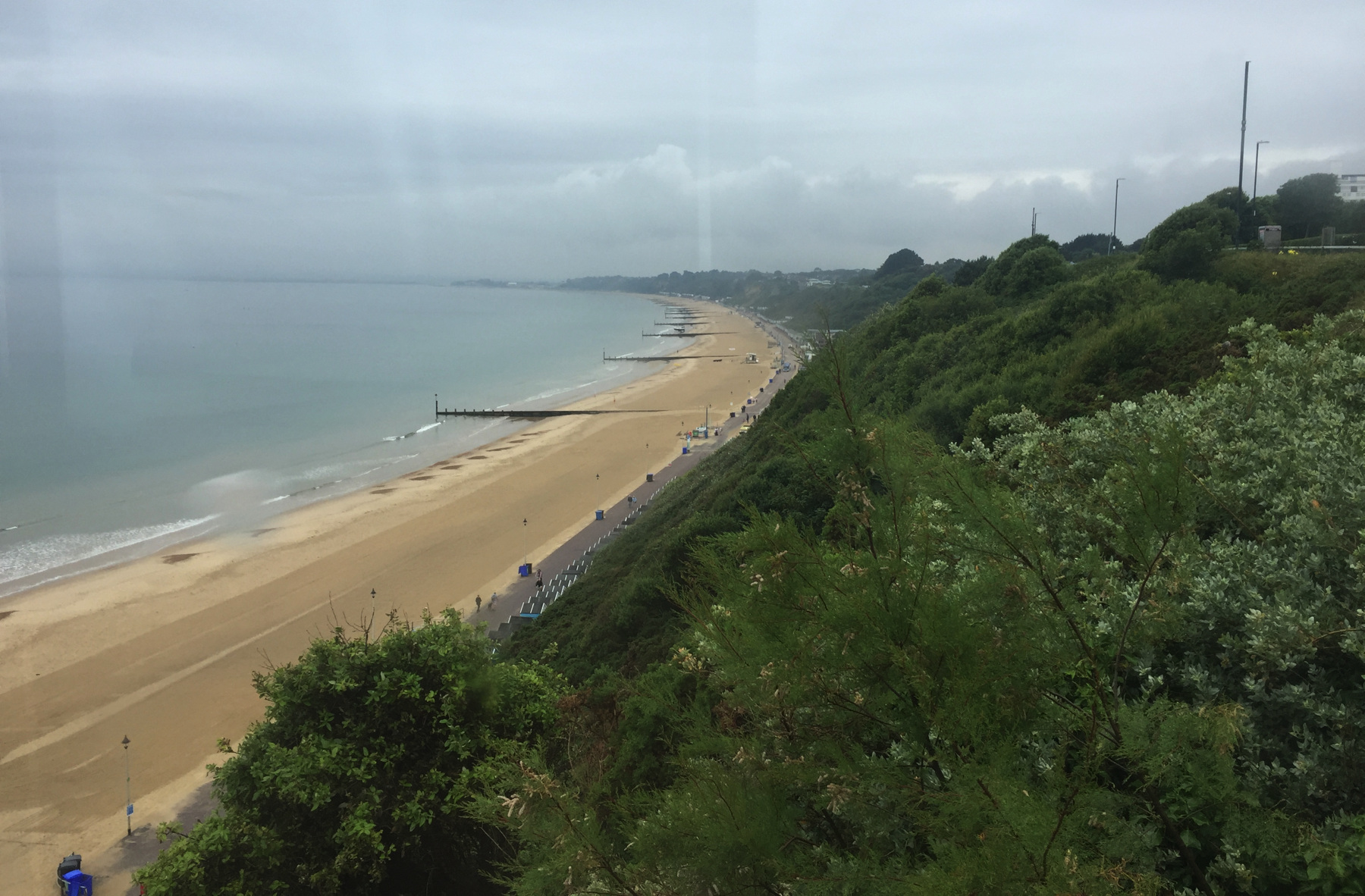
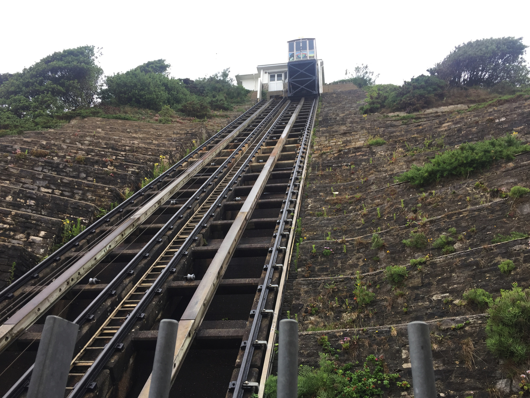
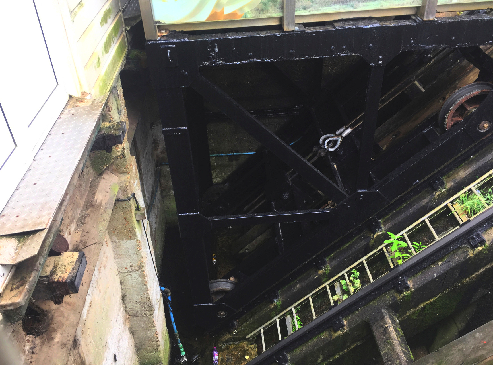
Let's go down. Two views from the car. Just a single cable runs over small support pulleys between the upper ends of the cars. A ladder for maintenance runs between the tracks. The thicker rail or conduit in the center may be for the brake.
A view back up from below shows on the left track two other cables running up from the car on the left track (far left), but they are not supported by pulleys. A view under the lower car shows those two cables attached to the car.
This funicular is extremely steep. A source with much detail on the opening in 1908 gives the angle as 45 degrees, an incredible one hundred per cent grade. The rough measurements I can make support the claim. Wow.
According to the rule I made up at Scarborough, I do not need to ride a funicular in both directions in order to count it. One direction is sufficient. I decided to go back to the pier by walking along the beach.
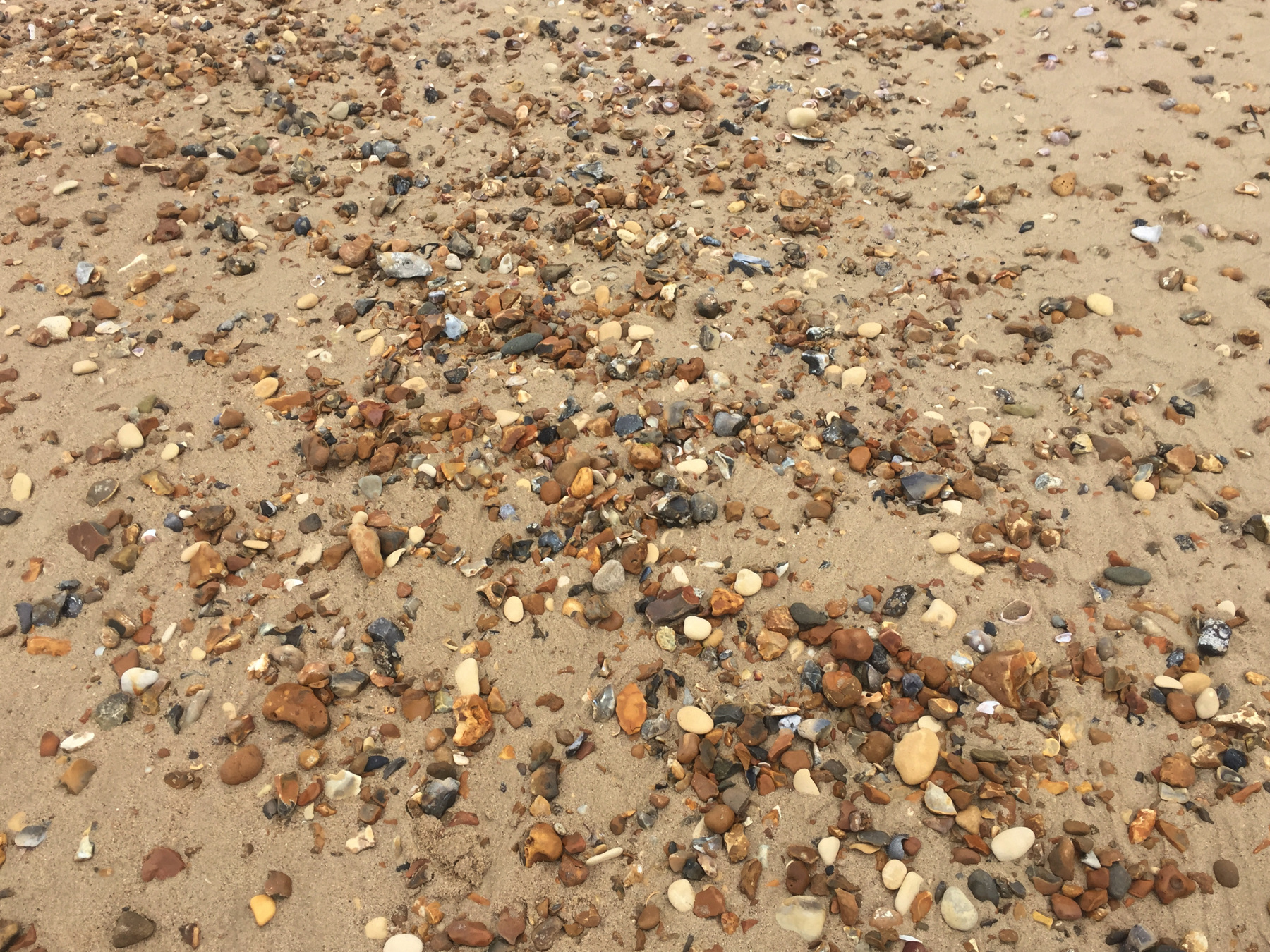
I had been at other times to Hastings and Brighton and those beaches are pebbles, and Bournemouth has some pebbles but also plenty of sand. It was getting slightly warmer so I decided to walk to the East Cliff Lift with my shoes off. I let the water of the Channel touch my feet and lived briefly the life of a vagabond.
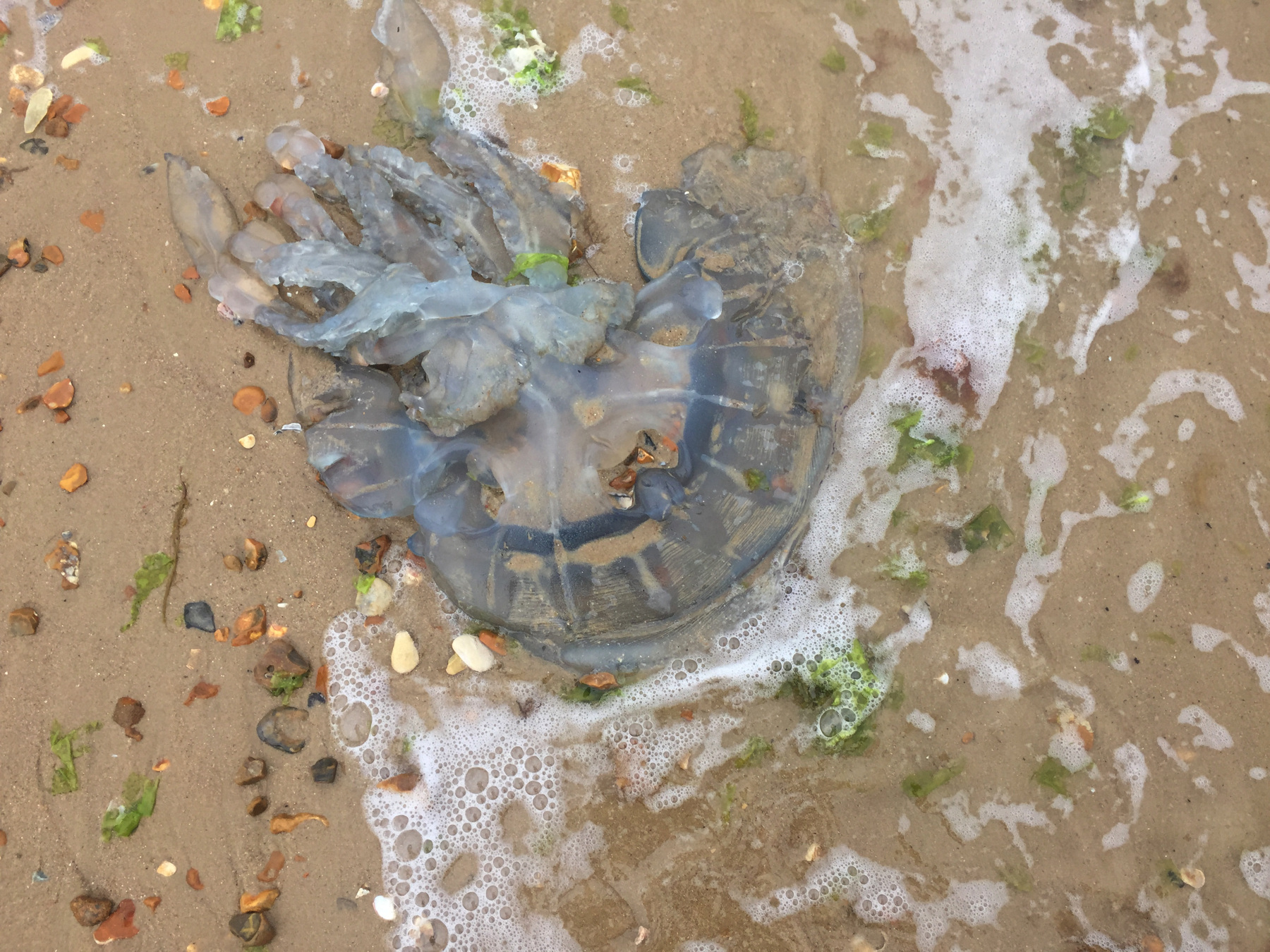
A scarce fellow human came along while I stopped to contemplate the remains of a jellyfish. I gestured to her to look. She told me she wished she had brought her phone to take a picture of it. I told her it wasn't going anywhere, and then realized to myself that I didn't know which way the tide was going. This picture of it goes out to her, whoever she was.
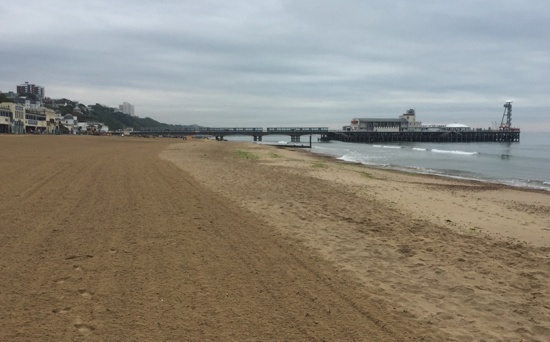

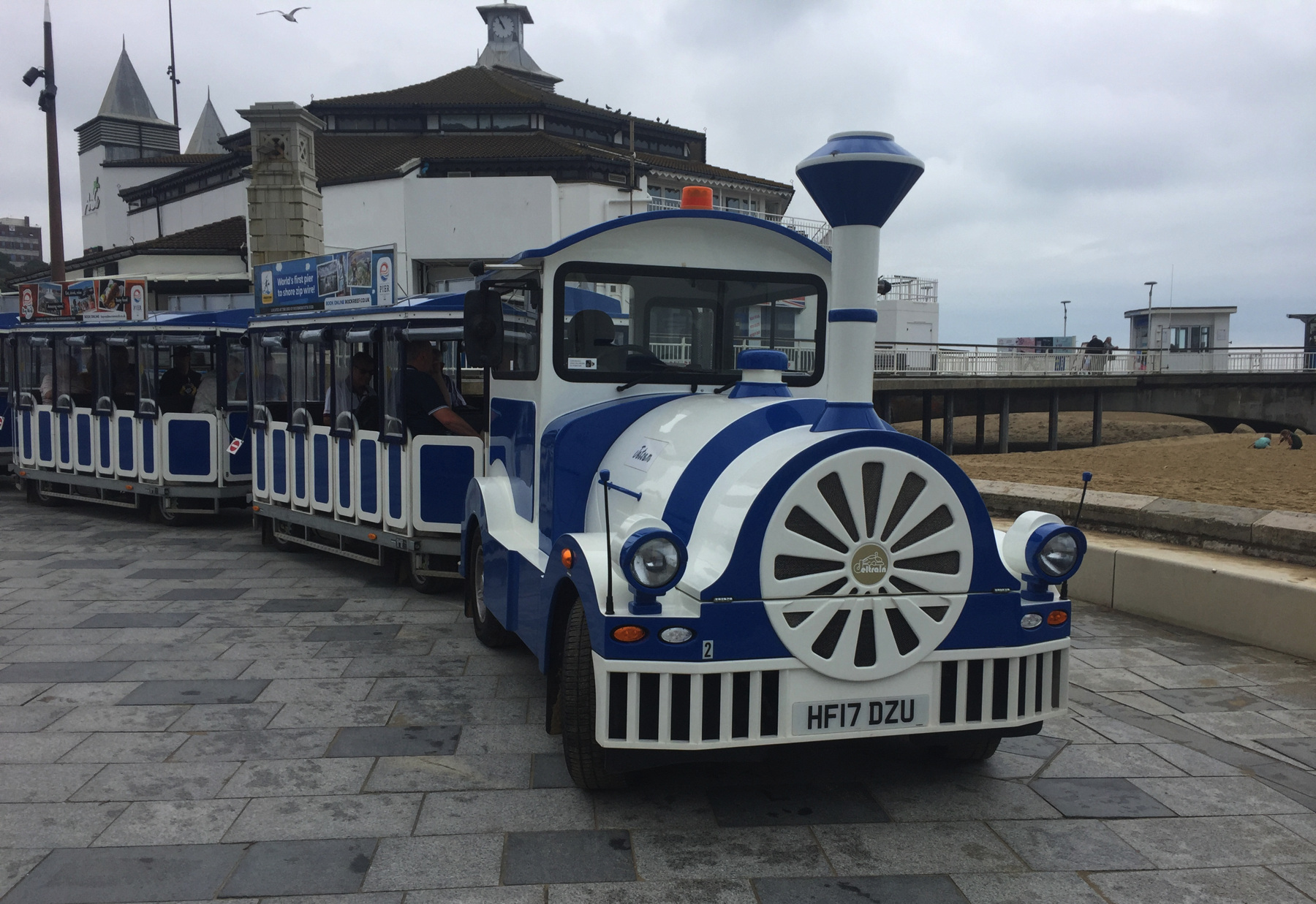
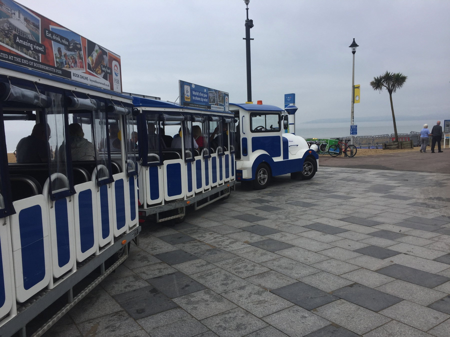
At the pier, I saw the famous Bournemouth Land Train. It's not very frequent, and even in this iffy weather it was comfortably full of passengers. I think they could put on a few more of them. I love that the train has a license plate so that it can run on streets. What class of vehicle would it be?
The ice cream shop at the pier seemed to have just opened—it was not yet noon—and there were no crowds testing the patience of the young servers. But when I saw that one of the flavors on offer was clotted cream vanilla, I could not stop myself. It was good. My lunch would be later.
East Cliff Lift
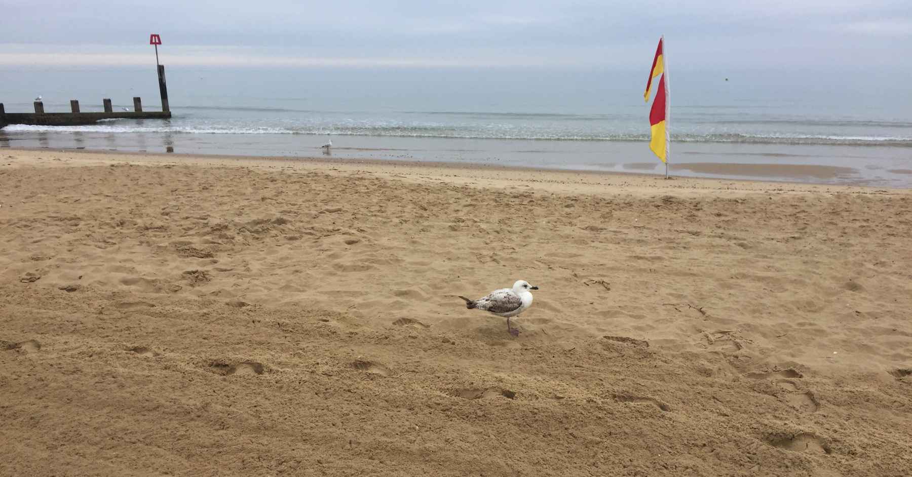
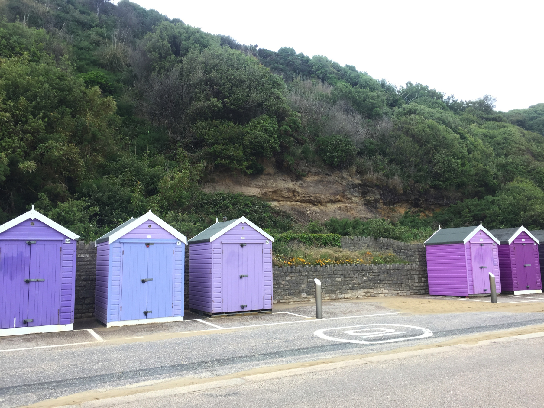
I walked further along the almost deserted beach, past lonely gulls and beach huts, on my way to the East Cliff Lift.
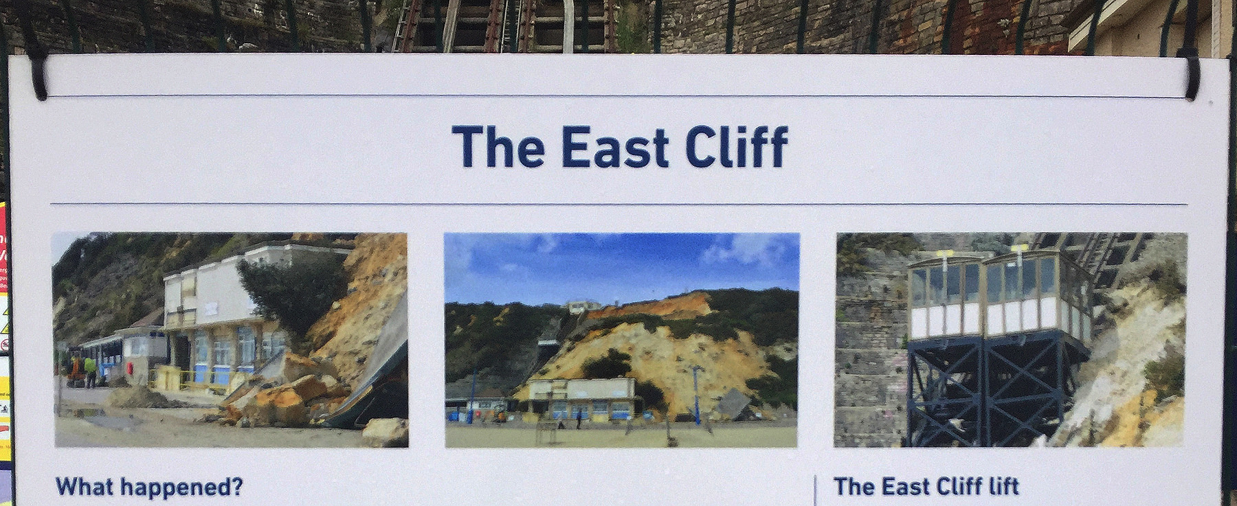
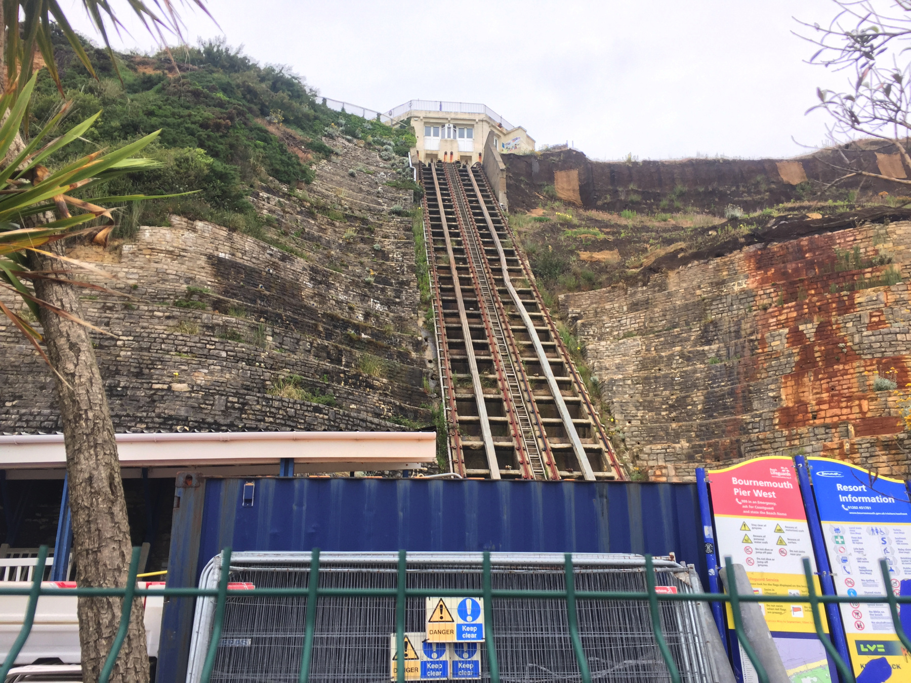
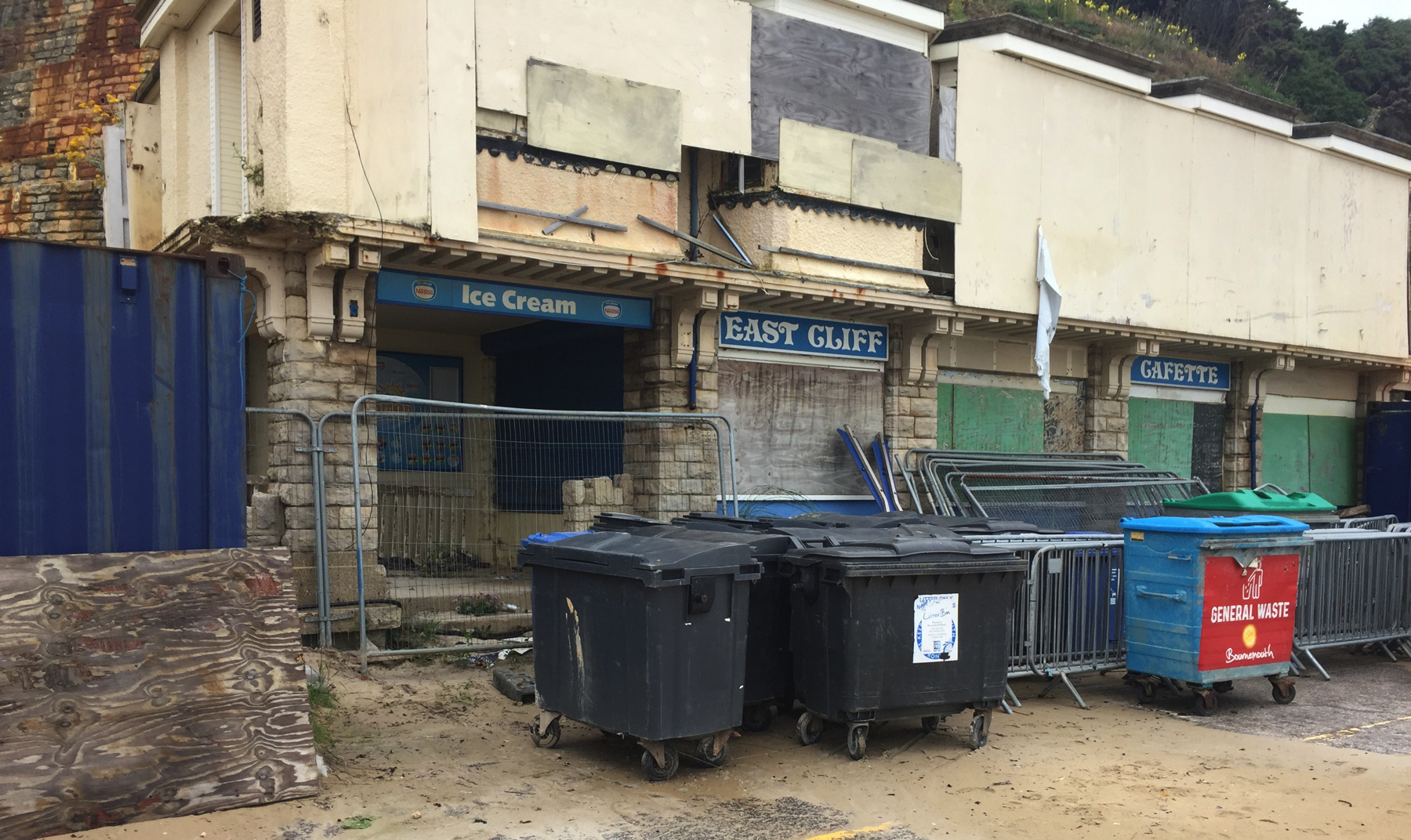
The East Cliff Lift is not running. In 2016 the cliff collapsed onto the lower station and its "cafette" and the lower part of the railway itself. By very good luck the event happened around 02:30 one morning, so no one was around at the time and so no one was hurt. The cars had been placed in balance for the night, midway up, and had minimal damage. They have been removed. The concern of the local authorities now is the stability of the cliff and whether it is safe to rebuild and reopen. Rightly so, I would say. Consulting firms have been weighing in and sources of funding are being sought, and therefore not much has been done yet on site except to remove the excess sand that landed on the property.
But I was there and I saw it, so it counts.
The landslide (or landslip in the local language) came from the righthand side as seen below. The thick center rail that I think is for the brake is bent from the impact.
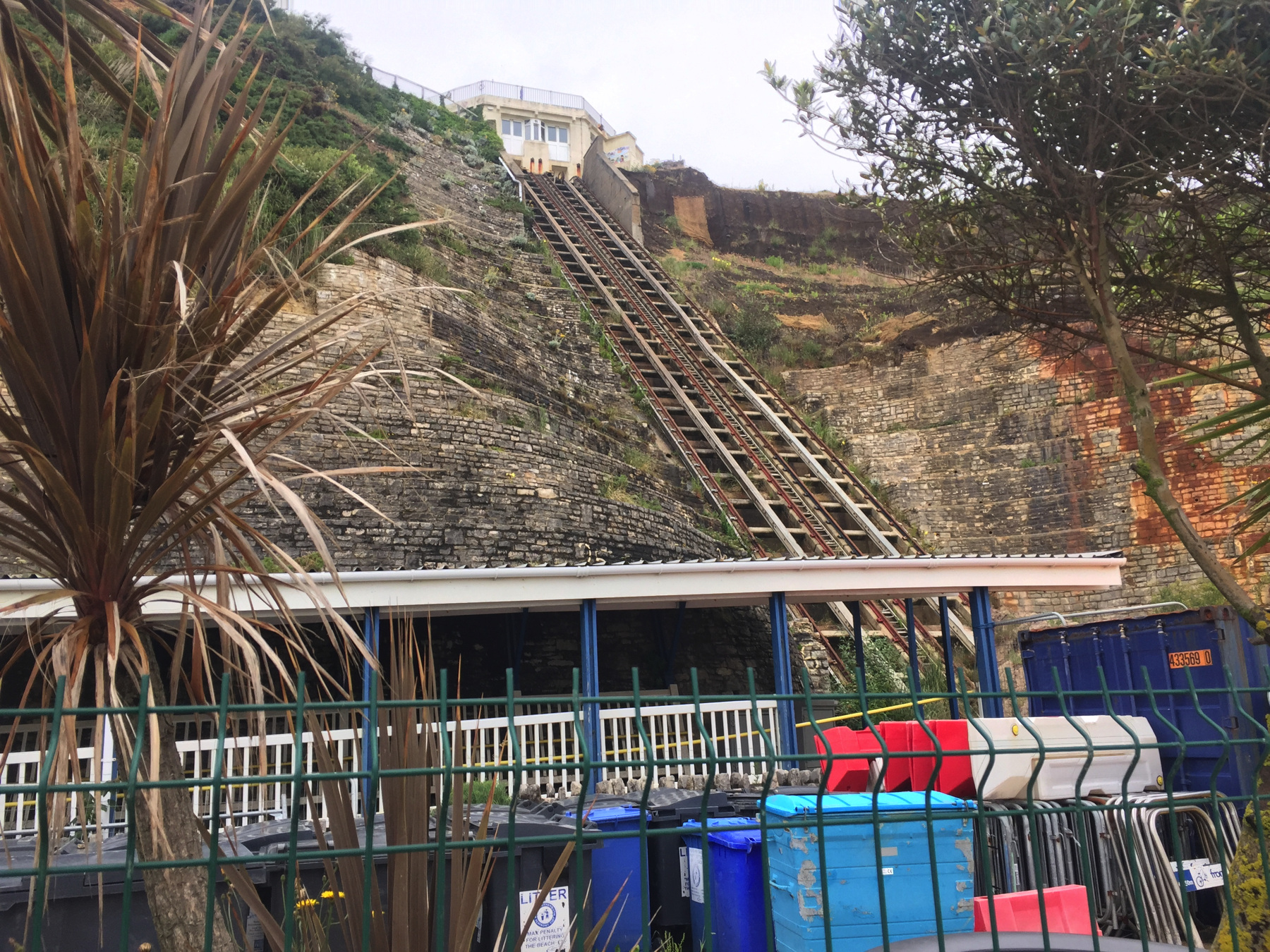
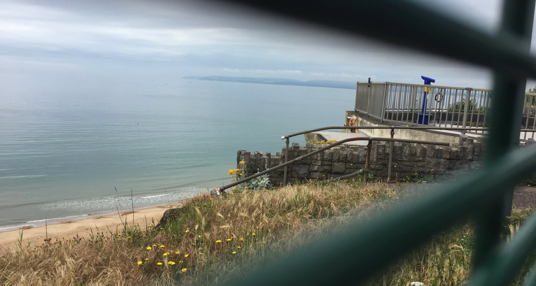
I had to walk up the zig zag, since no cliff lift was available. It's pretty steep. The last picture above looks through the temporary railings at the roof of the upper station, which formed a terrace with views up and down the coast. From here it almost looks like the entire thing collapsed but that's not true.
Fisherman's Walk Cliff Lift
The first two lifts are a mile apart, but it's more than two miles from the East Cliff Lift to the Fisherman's Walk Cliff Lift. This is nothing like Scarborough. It's much more spread out. I took a bus.
Fisherman's Walk is a long narrow park leading to the coast. At the end is the newest funicular in this series. All three of the Bournemouth funiculars were renewed in recent decades, so this one now looks similar to the others.
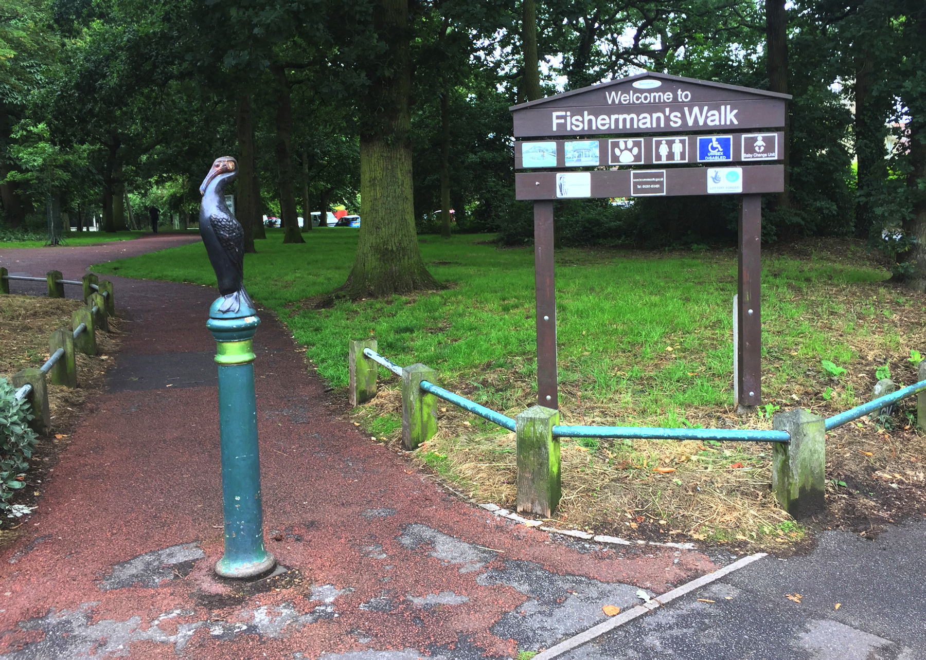
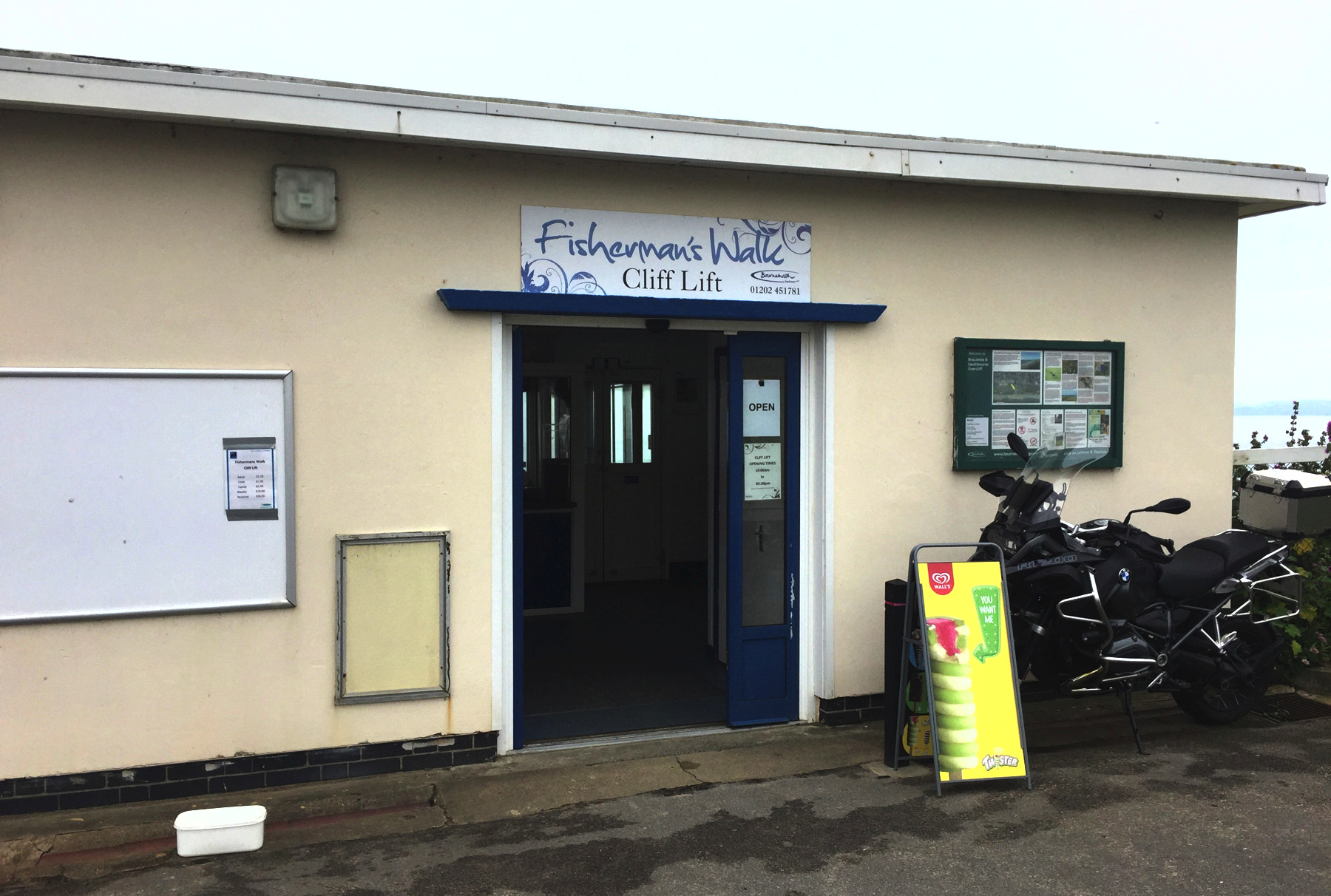
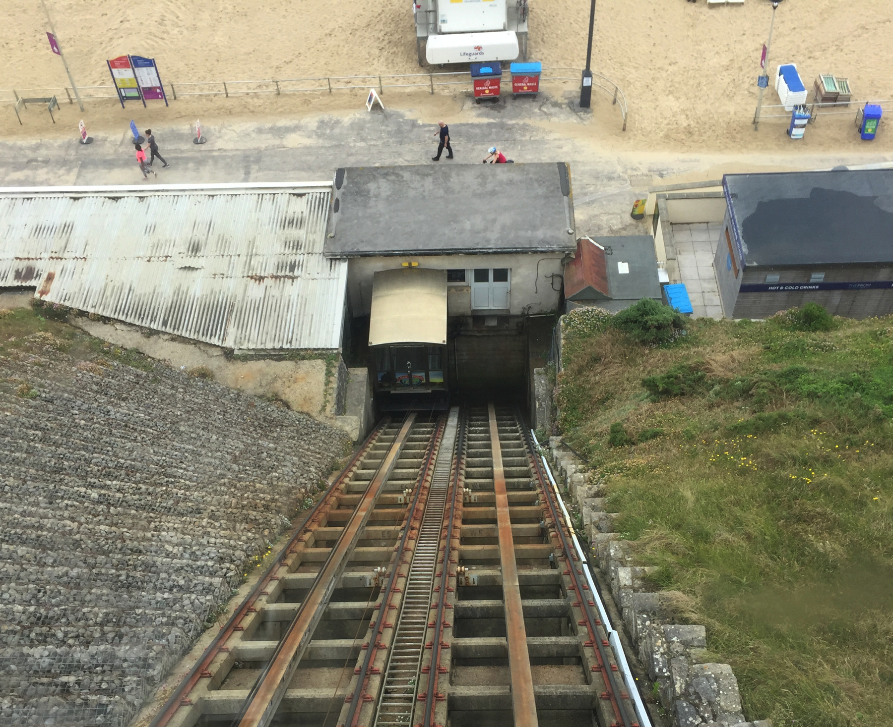
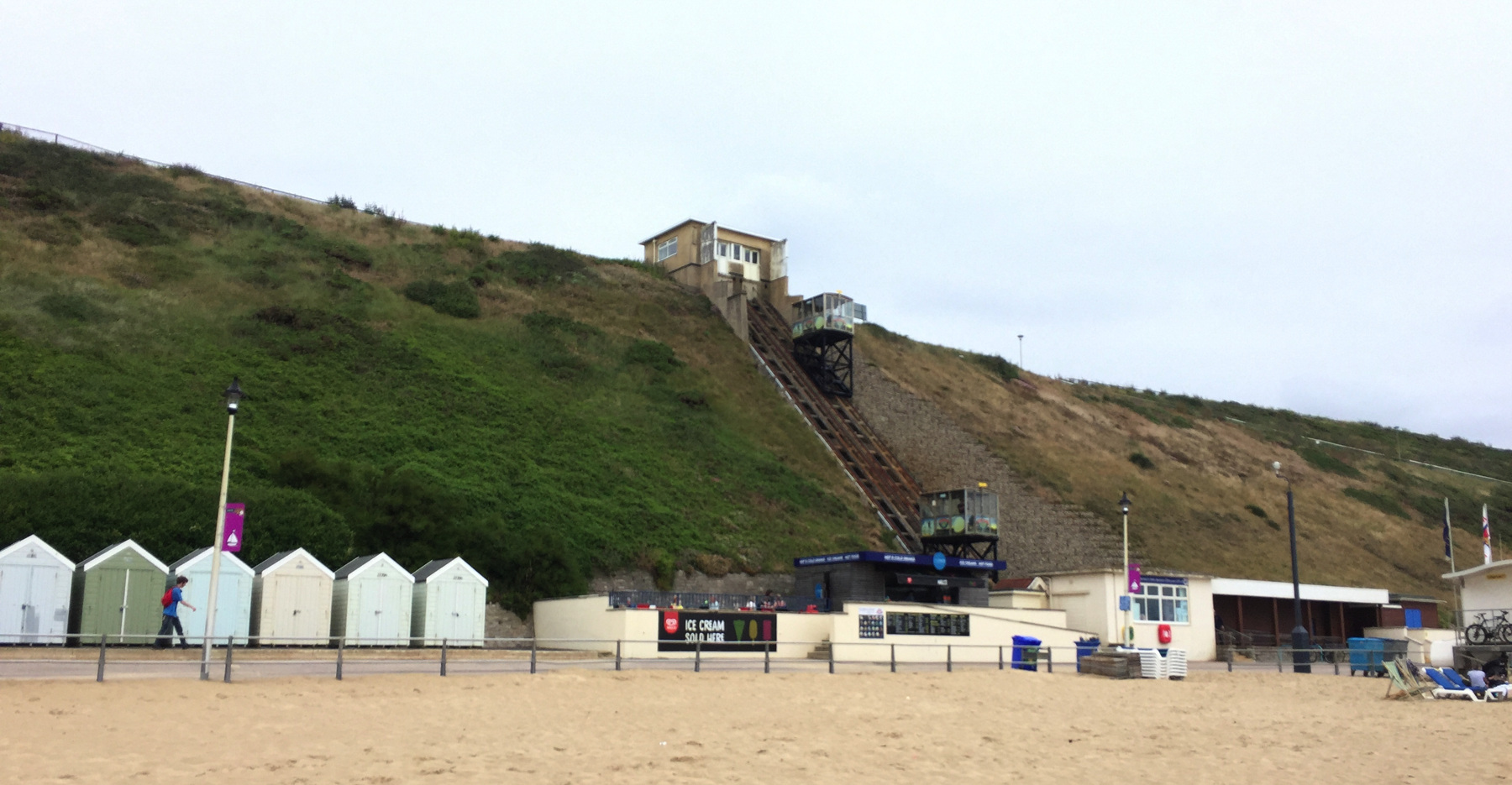
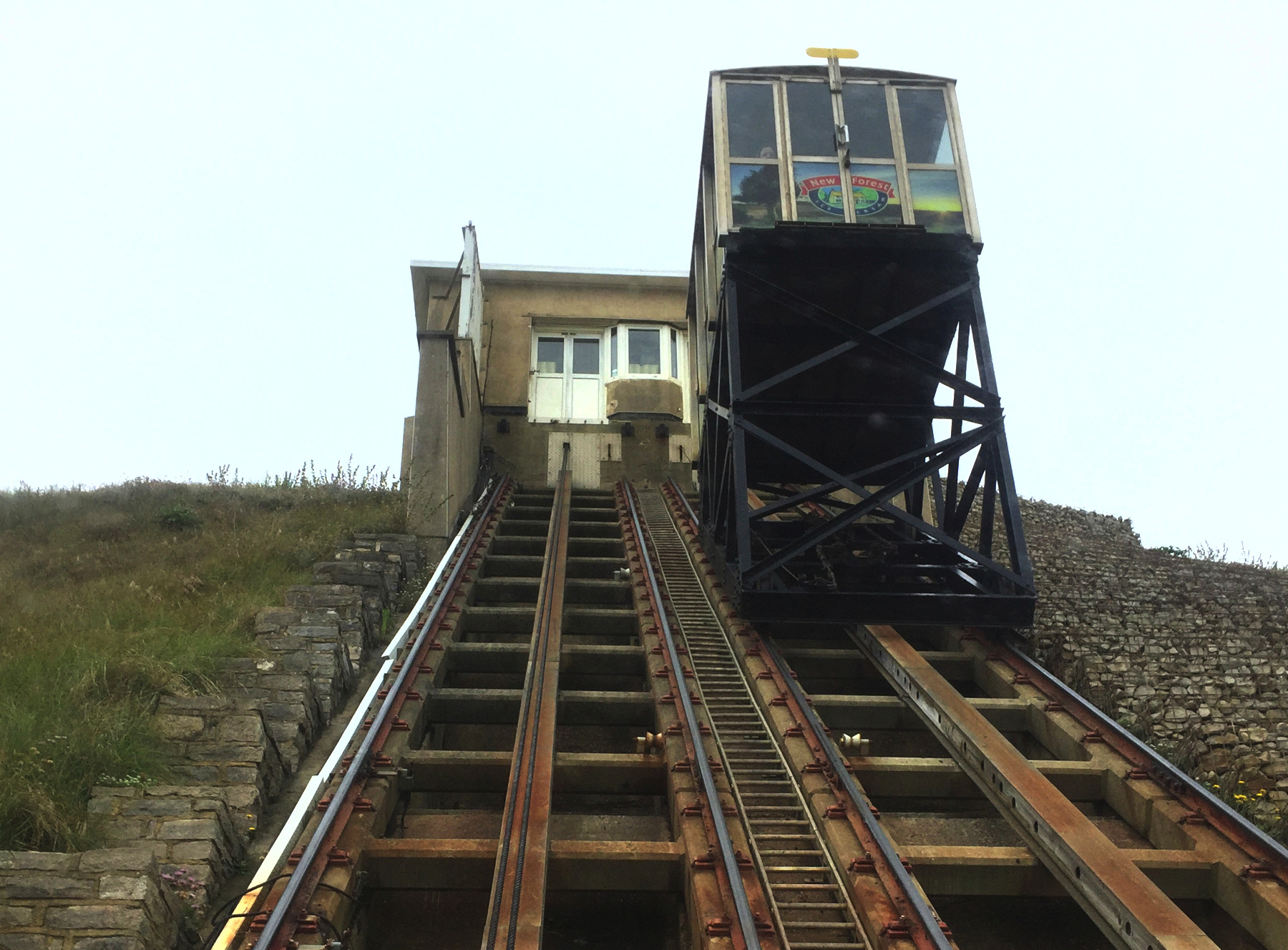
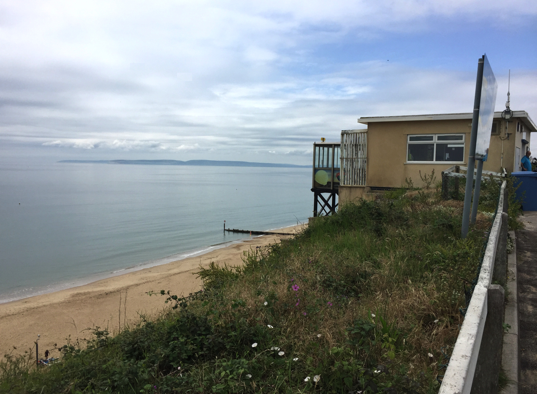
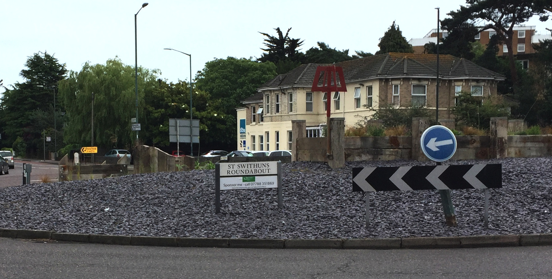
So, that's three funiculars. I had a bit of lunch and then took the bus back, debussing at St Swithun's Roundabout, from which I could walk to the station, not realizing when I snapped a picture the significance it would hold.[note 1] The second photograph below, at a location near the station, speaks for itself or maybe it does not.
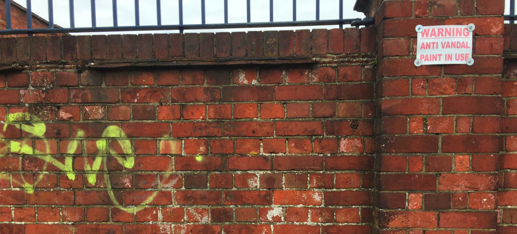
As I entered Bournemouth station, there was a train standing at the platform, and when I showed the Britrail Pass the man at the gate asked where I was going. I said I was thinking of stopping at Winchester, and he told me the train about to leave would stop there. So I was on my way a minute later.
Winchester is another candidate for the quaintness crown, large town division. It is a very old settlement. My main reason for stopping, as silly as I may be, is in the second picture. You must have heard of it—the building that was bringing you down, because it stood and watched as your baby left town—at least you've heard of it if you were listening to top 40 radio in 1966. Winchester Cathedral.
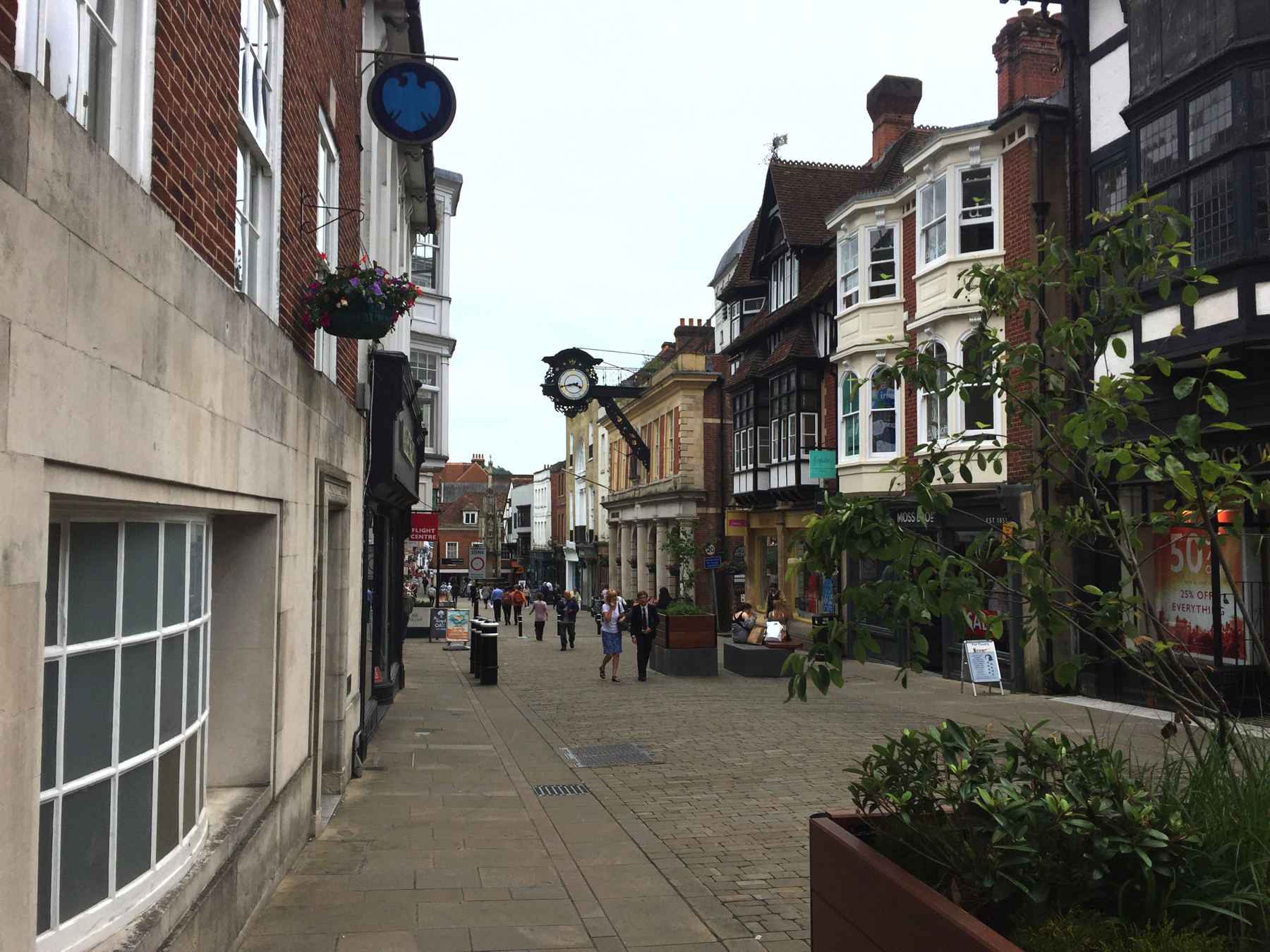

It was too late in the day for a cathedral tour, but from what I've read afterwards it is well worth inspection. Maybe some other time. I found my way back to the station on different streets, and got on a train to Waterloo.
[note 1] The name Swithun may be derived from the Saxon swiþ, "swift", and the word for "one". Saint Swithun was the Bishop of Winchester from 852 to his death in 863, when he was buried outside the cathedral church of that period. Many early kings were buried at Winchester including Alfred and Cnut. The later bishop Saint Æthelwold established a Benedictine monastery here in 964 and chose to make Swithun its patron saint. As a result Swithun's remains were moved a few times into increasingly elaborate shrines as a cult formed around a near cipher of a man of whom almost nothing was written in his lifetime. There was ultimately a Holy Hole in the shrine to allow pilgrims to climb in a little closer to his body! Not all of him was there though: his head had been removed in 974 and was first kept in a separate box at Winchester and then sent in 1006 to Canterbury Cathedral, and an arm was sent at the same time to Peterborough. It all ended in 1538 when King Henry VIII had the last shrine destroyed. I'm not sure that any part of Saint Swithun has been identifiable since that time, although a skull kept at Évreux Cathedral in Normandy is supposed to be his. An old rhyme says, of July 15, "St Swithun's day if thou dost rain ⋮ For forty days it will remain ⋮ St Swithun's day if thou be fair ⋮ For forty days 'twill rain nae mair" but this has not been proved true. Wikipedia lists thirty-nine churches named for Swithun (some as Swithin), and as a saint's name one would expect Swithun to have been given to more Christian babies than it has been.
TODAY'S FUNICULAR : 1
Westcliff Lift, Bournemouth
Date: since 1908
Power: Electric motor
Rise: [about 102 feet]
Run: [about 102 feet]
Length: 144 feet
Slope: 100%
Gauge: 5 feet 8 inches
Track: 2 tracks, straight
Car: level floor, doors at ends
CLAIMS: This one should claim to be the steepest in Britain.
HEIGHT: Wikipedia gives a track length of 145 feet and a slope of 1:1.42 or 70.4%. The grade is impossible to reconcile with measurable rise and run. An Ordnance Survey map (Hampshire and the Isle of Wight LXXXVI.13, 1907) gives spot elevations of 111 and 116 on each side of the location of the future upper station built just a year later. The upper station is level with the pavement, so its elevation is therefore about 113, and the lower station is something like 10 feet above sea level, so the rise is roughly 103 feet. Measured on a modern map the run is about 104 feet. These are approximate measures, but within a few feet, so clearly the correct figure for the grade is at or very close to 45° or 100%. An unsourced document in Wikipedia (removed for "citation needed" but saved in the talk page) gives the height as 102 feet and the grade as 45 degrees, and I think that is correct. The same document refers to Bournemouth Council actions from 1903 on, and even takes a direct quote from a council license of 1907 so I take it to be well researched. Surprisingly the stated grade is significantly less than the true grade. No claim is made on the official Bournemouth web pages.
TODAY'S FUNICULAR : 2
East Cliff Lift, Bournemouth
Date: from 1908 to 2016
Power: none
Rise: [about 105 feet]
Run: [about 130 feet]
Length: 166 feet
Slope: about 81%
Gauge: 5 feet 8 inches
Track: 2 tracks, straight
Car (no longer on site): level floor, doors at ends
CLAIMS: The first one at Bournemouth. True.
HEIGHT: Built by the same company as the Westcliff and earlier the same year, the track here is a little longer and the height a little greater. The Ordnance Survey map has elevations of 127 and 128 near the upper station, but the station is at least 10 feet below the road. If the lower station is roughly 10 feet above sea level, the rise is very roughly—both elevations are not reliable—107 feet, and measured on a map, the run is about 130 feet. The calculation works for the track of 166 feet if we have a rise of 105 and run of 129 or similar figures. The stated grade of 1:1.5 or 66% is again much less.
TODAY'S FUNICULAR : 3
Fisherman's Walk Cliff Lift, Bournemouth
Date: since 1935
Power: Electric motor
Rise: [about 81 feet]
Run: [about 100 feet]
Length: 128 feet
Slope: about 81%
Gauge: 5 feet 8 inches
Track: 2 tracks, straight
Car: level floor, doors at ends
CLAIMS: The newest funicular in Britain. By my rules, this is true. Some that I don't count, because they are within private properties, are newer. All of the ones I allow, including this one, have had the track, cable, cars, and machinery replaced at various dates, so they are all like my grandfather's ax. Let's say this is the newest.
HEIGHT: My sources give a height of 91 feet and a track of 128 feet, which gives a calculated run of 90 feet and therefore another 100% grade. We don't have a good Ordnance Survey elevation for the upper station. If the lower station is at 10 feet, then the claimed 91 puts the upper station at 101, which seems a little high to me, because the street might be at 100 and you walk down hill to the upper station. The 1938 Ordnance Survey map was not updated to show the lift, and while it has a 100 foot contour near the site, the land surface was changed when the lift was built. The run measured on a map is about 100 feet, an estimate to be sure, but much more than 91. One of the numbers is wrong. If I take the track length as given, and the run as approximately 100 feet, I get a rise of 81 feet, so I am going with that as my best guess. Even with this, the grade is yet again steeper than usually stated, not 1:1.49 or 67% but about 81%. It's interesting that this is the same (approximate) grade as the East Cliff Lift.
TODAY'S ALE
The Commodore, Bournemouth: Greene King, Timothy Taylor (cask ale)